 Island
Themes:CultureSpiritualOffbeatPhotography
Assam
Majuli
The Brahmaputra's shrinking island of satras, masks and monsoon light
- Ideal stay
- 2 days
- Best time
- October to March; November for the Raas Mahotsav
Northeast India · Valley
Apatani rice terraces, pine ridges and a music festival under open sky
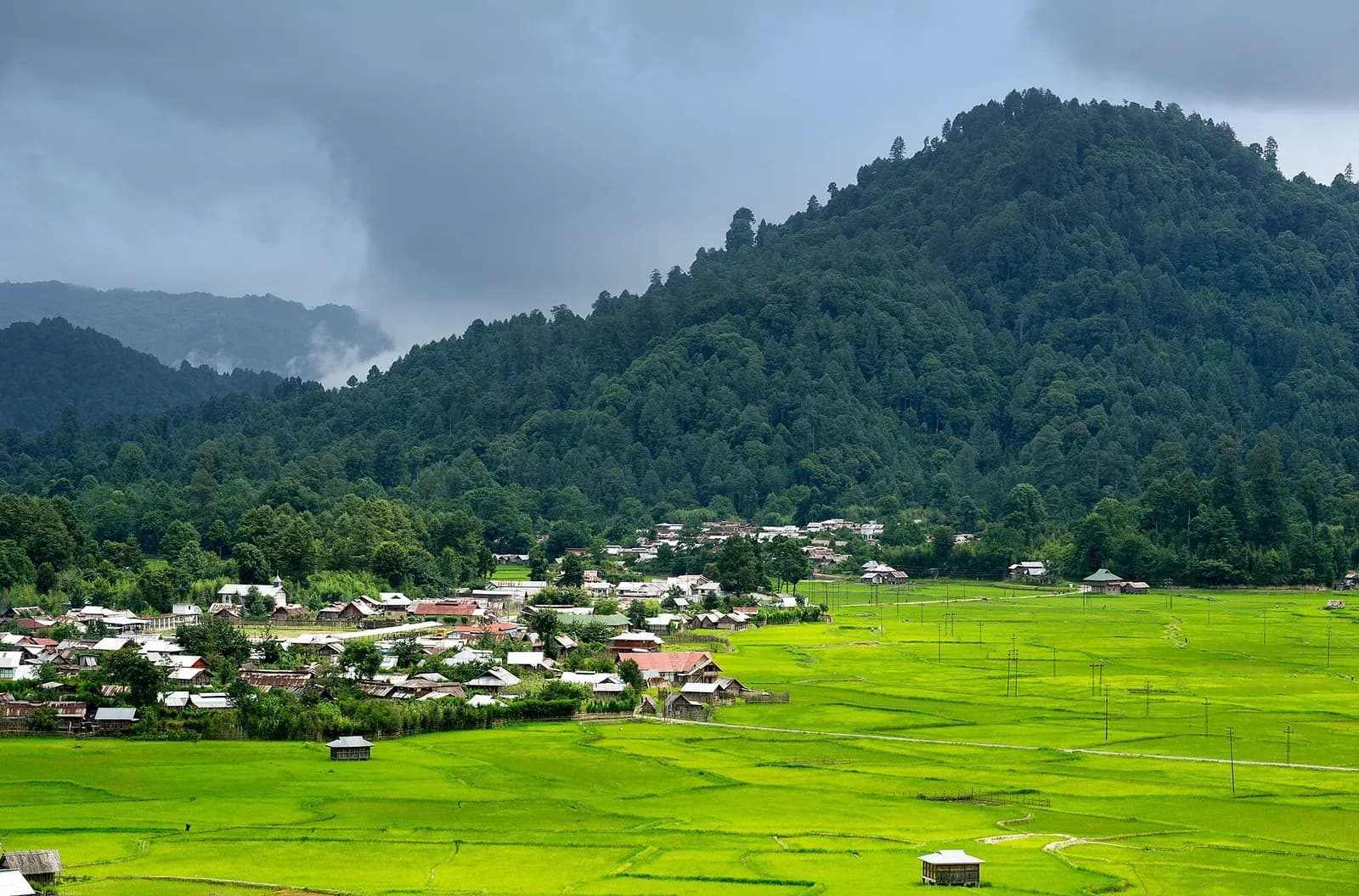
Photo: Arunachal2007 · CC BY-SA 4.0
Best: Mar–May
The Apatani came to this high valley in the Subansiri hills centuries ago and made it the most productive farmland in Arunachal without a single draught animal or machine: terraces of wet rice irrigated by bamboo channels, with fish raised in the same water, and millet on the bunds between. That system, and the villages that run it, put the Apatani cultural landscape on UNESCO's tentative list. Ziro is really two places: Hapoli, the administrative town, and old Ziro on the plateau where villages such as Hong, Hija, Hari, Bamin and Dutta stand as dense clusters of wooden houses on stilts, each with its lapang platform and babo poles raised at the Myoko festival in March.
Older Apatani women still wear the nose plugs and facial tattoos of a tradition ended in the 1970s. A day here is slow: morning mist over the terraces from the Kile Pakho ridge, a walk between villages past bamboo groves and kiwi orchards, a meal of smoked pork, bamboo-shoot pila and rice with tapyo salt cooked over a hearth, an evening of O rice beer in a homestay. Talley Valley, a wildlife sanctuary of clouded leopards and silver fir a day's trek away, is the wilderness beyond.
Every late September the Ziro Festival of Music fills a paddy field with bamboo stages and independent bands from across India, and the valley becomes the country's most beautiful open-air venue. Ziro is Arunachal's easiest entry and its most complete picture of a tribe still living on its own terms.
Best Mar–May
March to May and September to November; late September for the Ziro Festival of Music.
Give Ziro Valley 2 days and it repays the time; with fewer you are choosing between Hong, one of Asia's largest tribal villages, its lanes lined with babo poles and Terraces of the Apatani plateau at sunrise from Kile Pakho ridge. We build the hours around the weather — early starts when it is hot, long afternoons when it is not.
On the ground
The days we would actually plan for you, in the order that suits the light.
At the table
Getting there
Donyi Polo Airport at Hollongi (Itanagar) is about 115 km and Lilabari (North Lakhimpur) about 100 km; Naharlagun is the railhead, with direct trains from Guwahati, then 3 to 4 hours by road to Hapoli.
Airport pickups, station transfers and the driver for the days here are all part of what we arrange — including the hour you should leave, which is usually earlier than you think.
Next door
Places that join Ziro Valley without a long drive — the way a real week is built.
IslandAssam
The Brahmaputra's shrinking island of satras, masks and monsoon light
 Wildlife
Assam
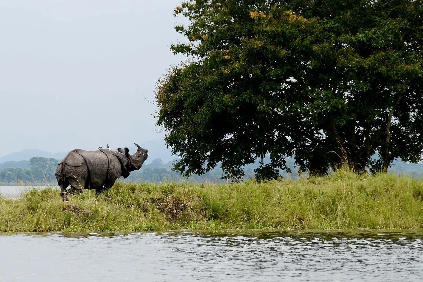
One-horned rhinos grazing the Brahmaputra's tall-grass floodplain
 Valley
Arunachal Pradesh
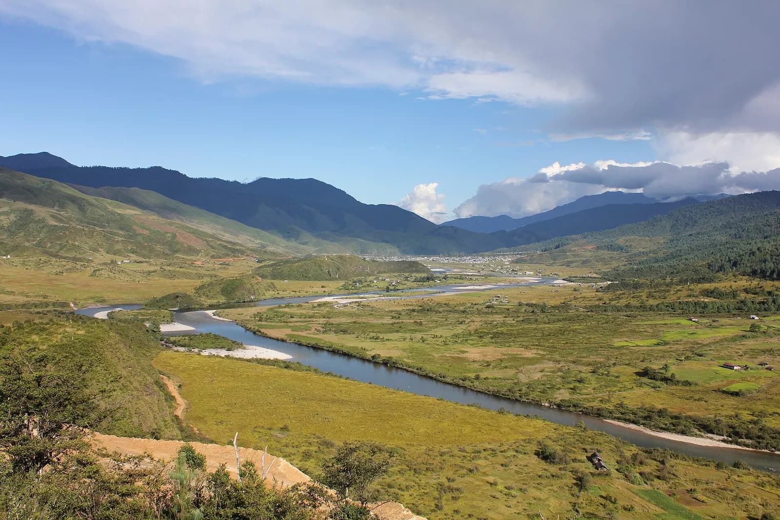
A remote valley of Memba monasteries and hanging bridges near Tibet
 Temple
Assam
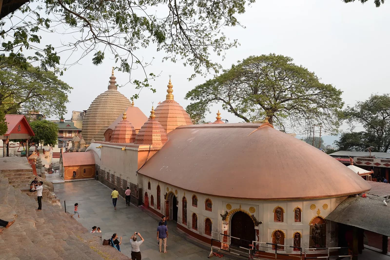
The Brahmaputra's gateway city, crowned by the Kamakhya Shakti Peetha
From the journal
· Itinerary · 6 min
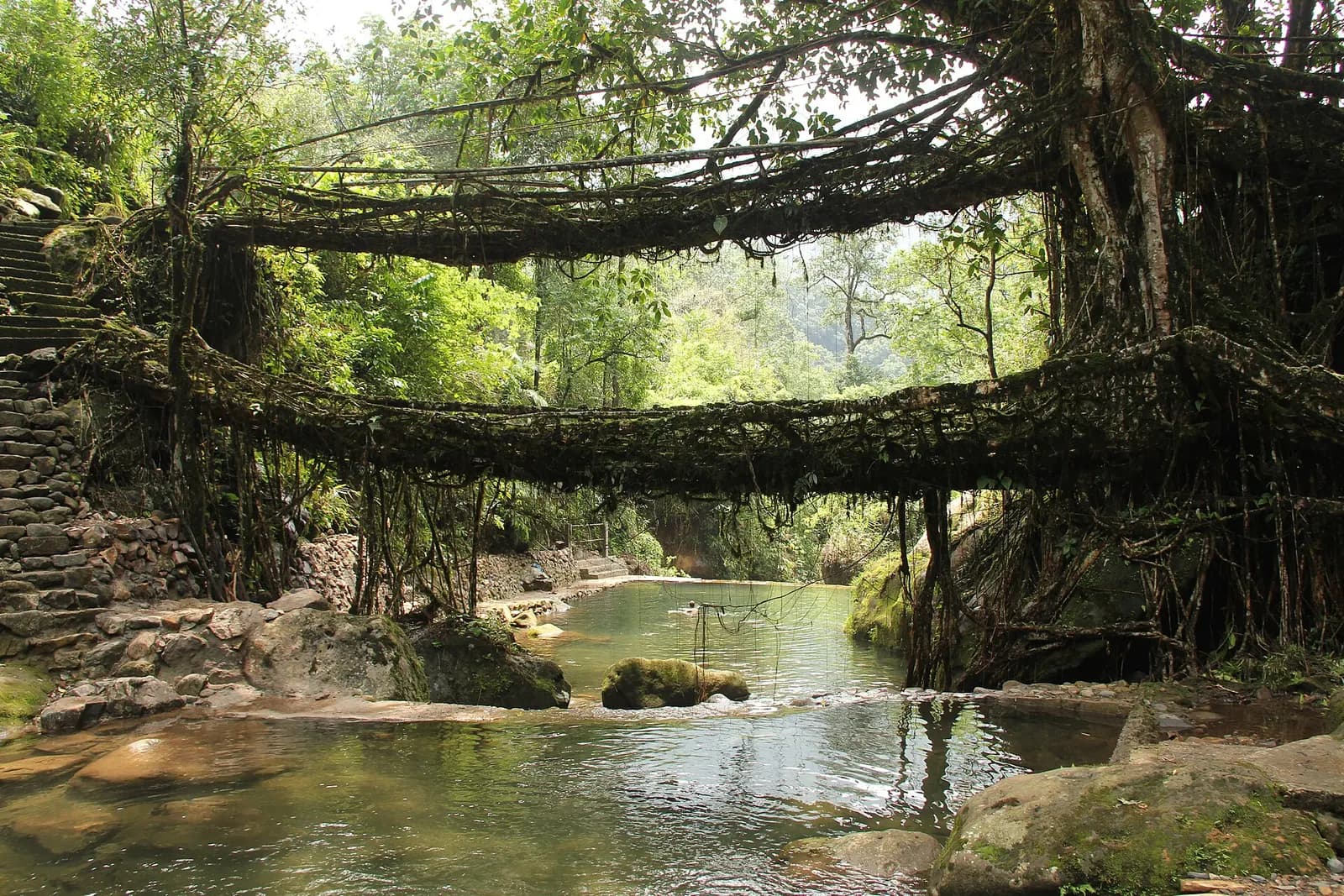
A tested ten-day route from Guwahati through Kaziranga's rhino grasslands to the satras of Majuli, then across the Khasi hills to root bridges, Nohkalikai Falls and the glass water of the Umngot, with costs, permits and honest driving times.
Before you ask
Photograph of Ziro Valley: Arunachal2007 · CC BY-SA 4.0
All destinations