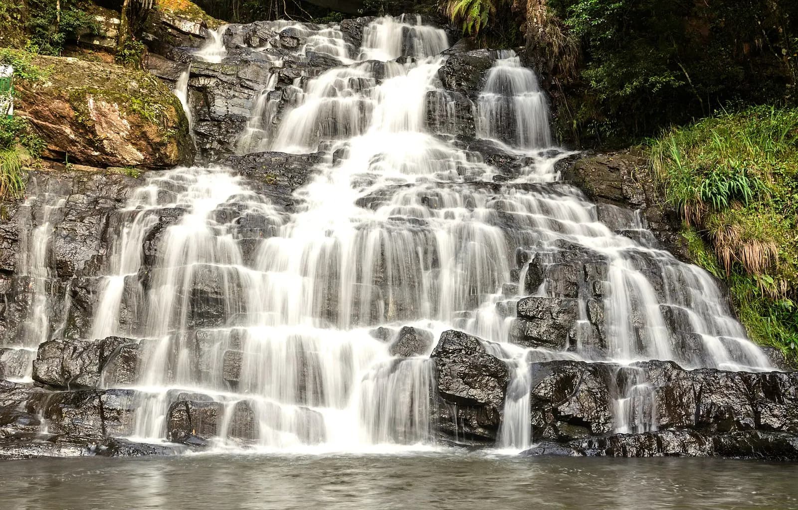
 Hill station
Themes:CultureFoodNatureFamily
Meghalaya
Shillong
Pine-scented Khasi capital of cafes, choirs and colonial bungalows
- Ideal stay
- 2 days
- Best time
- October to May; October and November for cherry blossoms and clear skies
Northeast India · Waterfall
Waterfalls off a rain-carved plateau and living root bridges below
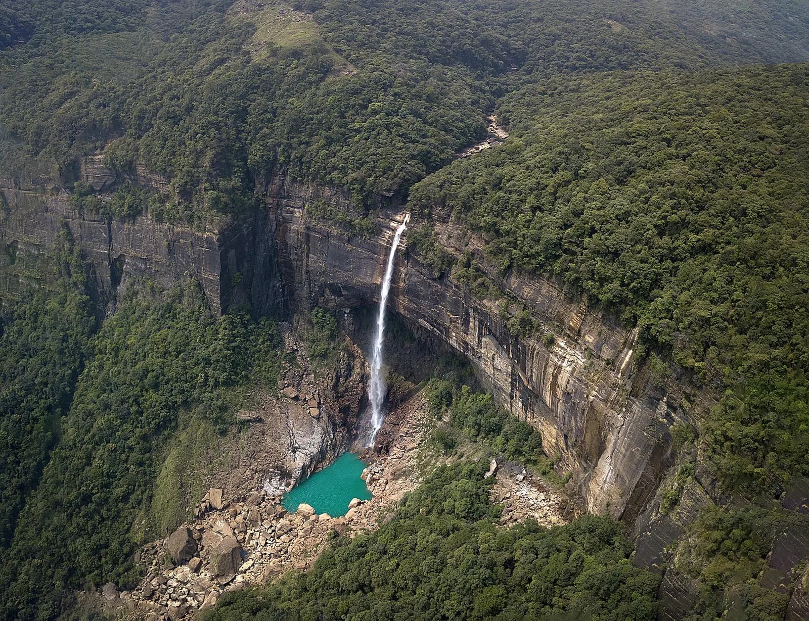
Photo: Vikramjit Kakati · CC BY-SA 4.0
Best: Oct–May
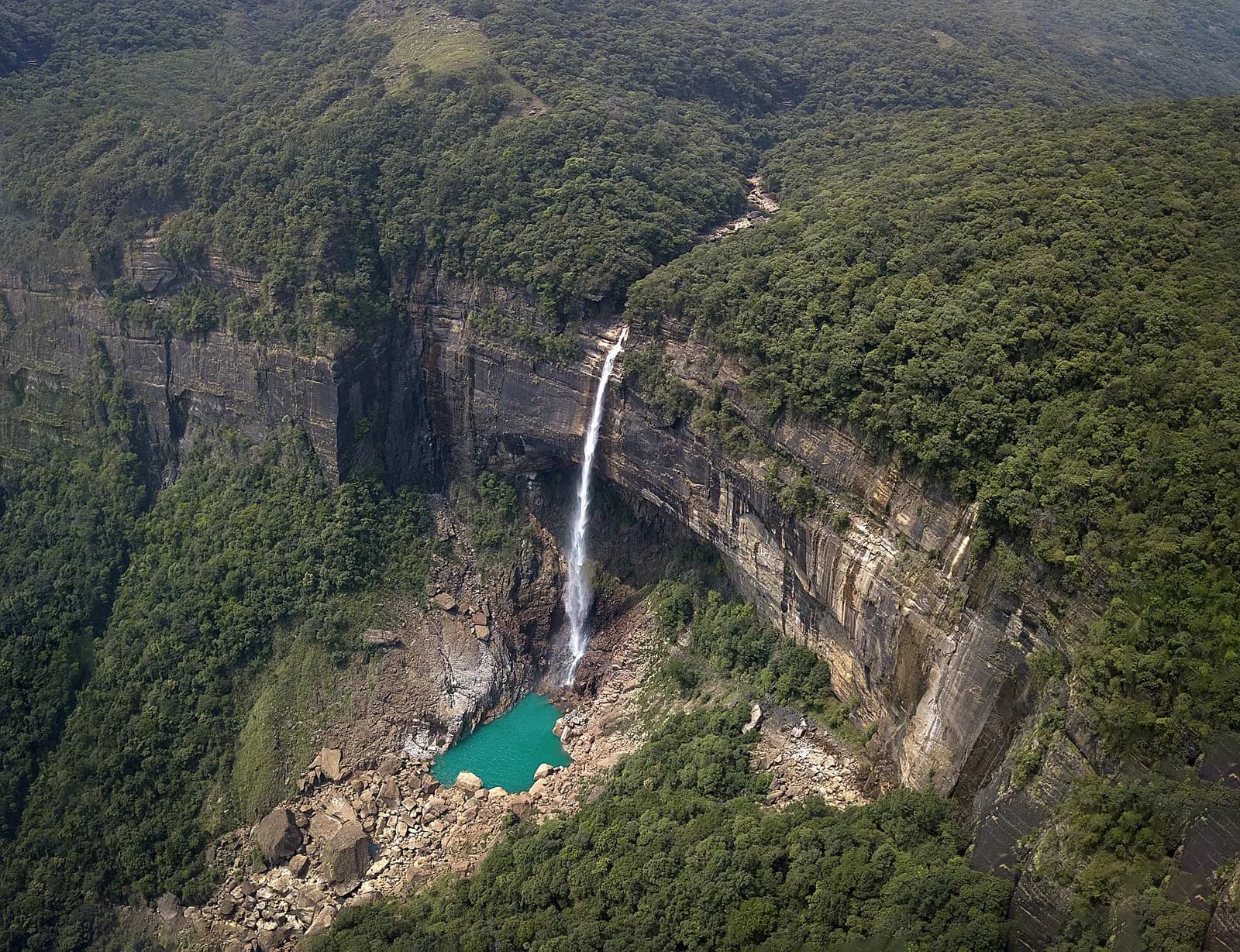
For most of the twentieth century Cherrapunji was the wettest place on earth, averaging over 11,000 millimetres of rain a year; the record set in 1861, more than 26 metres in twelve months, still stands. The British made it the first headquarters of their Khasi Hills administration in the 1830s before retreating to Shillong, and the Khasi call it Sohra, seat of an old hima chieftainship whose monoliths still stand on the plateau. The land is a table of limestone and sandstone that ends abruptly in a 1,000-metre escarpment above the Bangladesh plains, and the monsoon that rises from those plains falls off the edge again as waterfalls: Nohkalikai, India's tallest plunge at 340 metres, named for a Khasi mother of a terrible legend; the seven ribbons of Nohsngithiang; Dainthlen with its carved stone of the slain serpent.
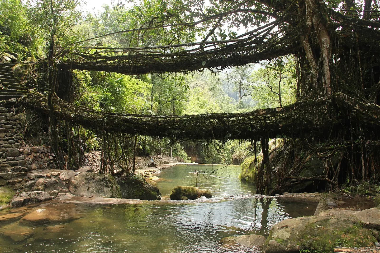
Beneath the plateau lie the Mawsmai and Arwah caves, and in the gorges below Tyrna grow the Khasi's living root bridges, coaxed over decades from the roots of Ficus elastica, the most famous a double-decker at Nongriat reached by some 3,500 stone steps. A day here is mist rolling over the Eco Park cliffs, a descent into steamy green where butterflies cross the trail, a swim beneath Rainbow Falls, and a night in a village where the only sound is water. Come in the dry months for the bridges and in monsoon for the sound of the falls; either way Sohra rearranges what you think rain is.
Best Oct–May
October to May for trekking and clear views; June to September for the falls at full force.
Give Cherrapunji (Sohra) 2 days and it repays the time; with fewer you are choosing between Nohkalikai Falls, India's tallest plunge, dropping 340 m into a blue pool and The double-decker living root bridge at Nongriat and Rainbow Falls beyond. We build the hours around the weather — early starts when it is hot, long afternoons when it is not.
On the ground
The days we would actually plan for you, in the order that suits the light.
At the table
Getting there
Shillong is 55 km and Guwahati airport about 150 km (4 hours) by road; Guwahati is the nearest major railhead and Shillong (Umroi) the nearest small airport.
Airport pickups, station transfers and the driver for the days here are all part of what we arrange — including the hour you should leave, which is usually earlier than you think.
Next door
Places that join Cherrapunji (Sohra) without a long drive — the way a real week is built.
Hill stationMeghalaya
Pine-scented Khasi capital of cafes, choirs and colonial bungalows
 Village
Meghalaya
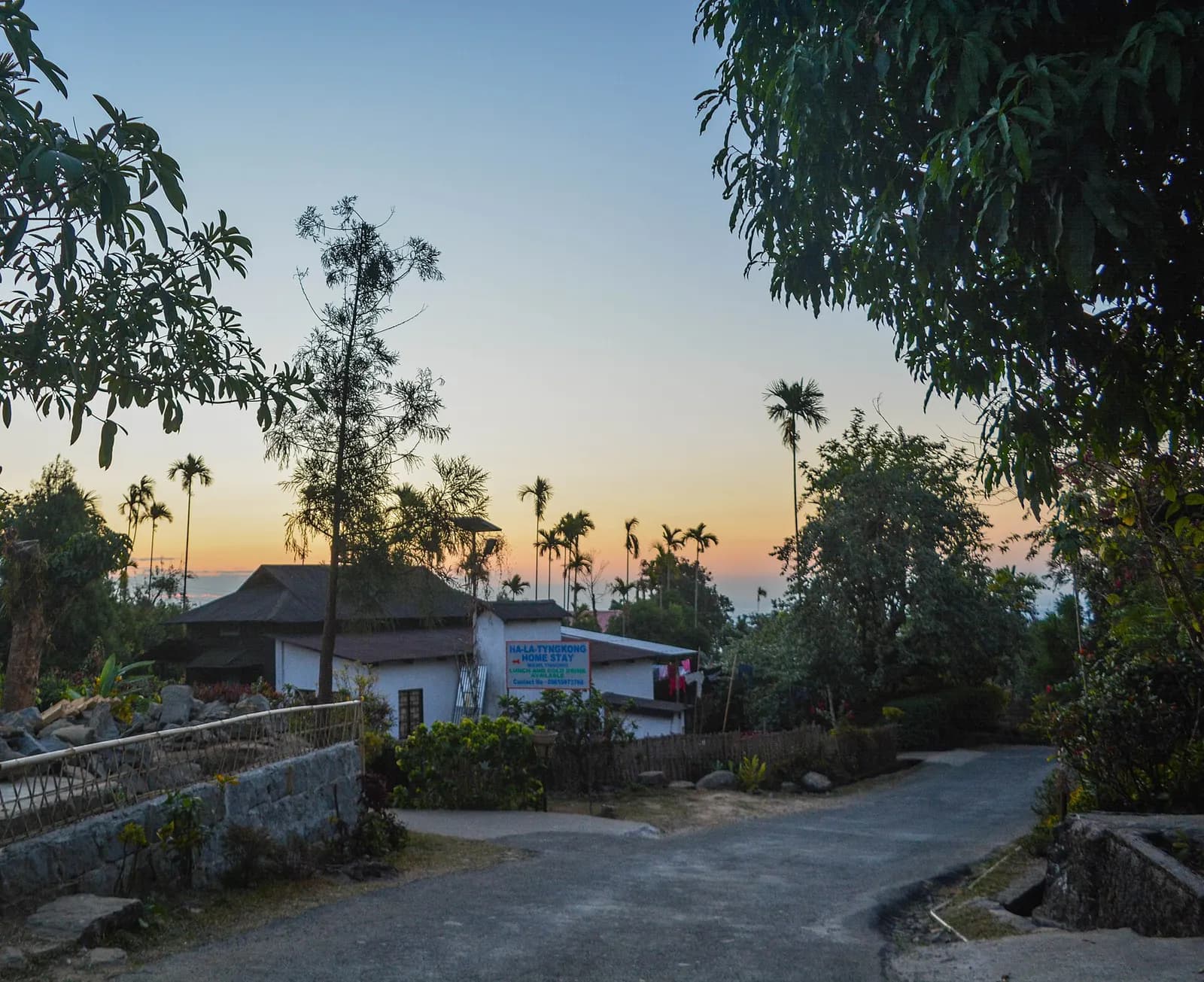
Asia's cleanest village, with a root bridge and a Bangladesh view
 River
RiverMeghalaya
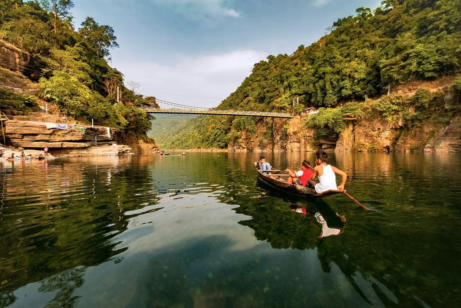
Boats that float on air above the clear Umngot river
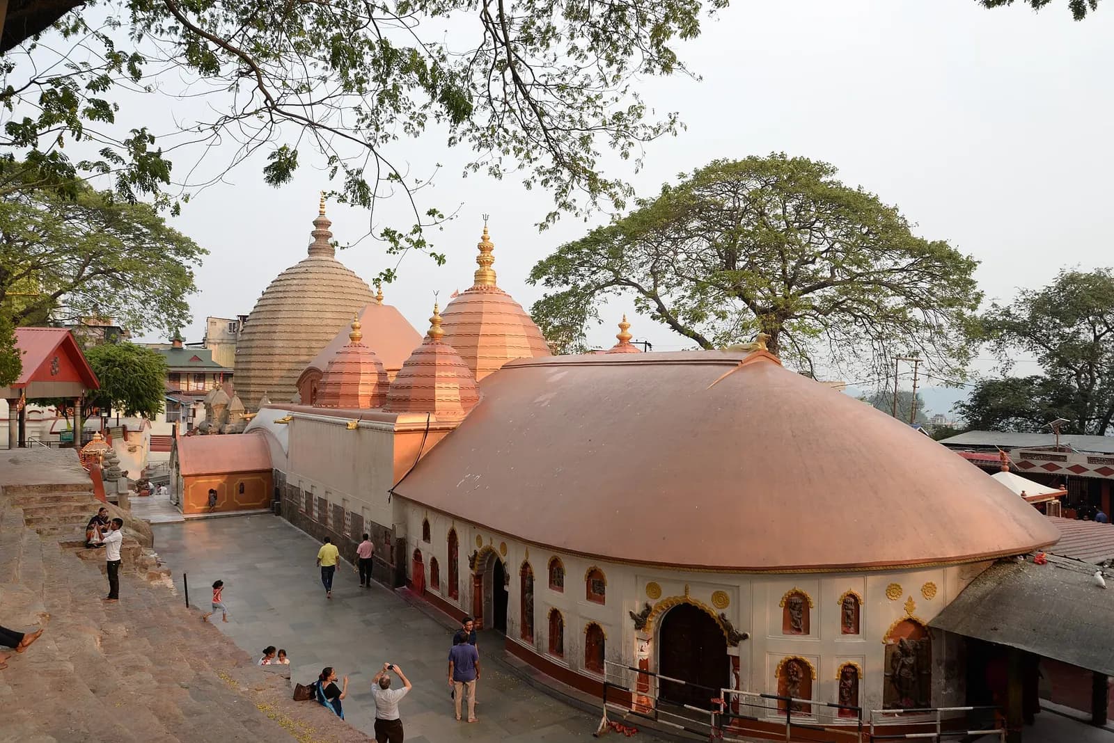 Temple
Assam
The Brahmaputra's gateway city, crowned by the Kamakhya Shakti Peetha
1 journey
 8 days · 7 nights
Moderate · Best Nov–Apr
From the Brahmaputra and Kaziranga's grasslands to the wettest hills on earth
Route: Guwahati & Kamakhya → Kaziranga → Shillong → Cherrapunji (Sohra) +2 more
From the journal
· Itinerary · 6 min
A tested ten-day route from Guwahati through Kaziranga's rhino grasslands to the satras of Majuli, then across the Khasi hills to root bridges, Nohkalikai Falls and the glass water of the Umngot, with costs, permits and honest driving times.
Before you ask
Photograph of Cherrapunji (Sohra): Vikramjit Kakati · CC BY-SA 4.0
All destinations