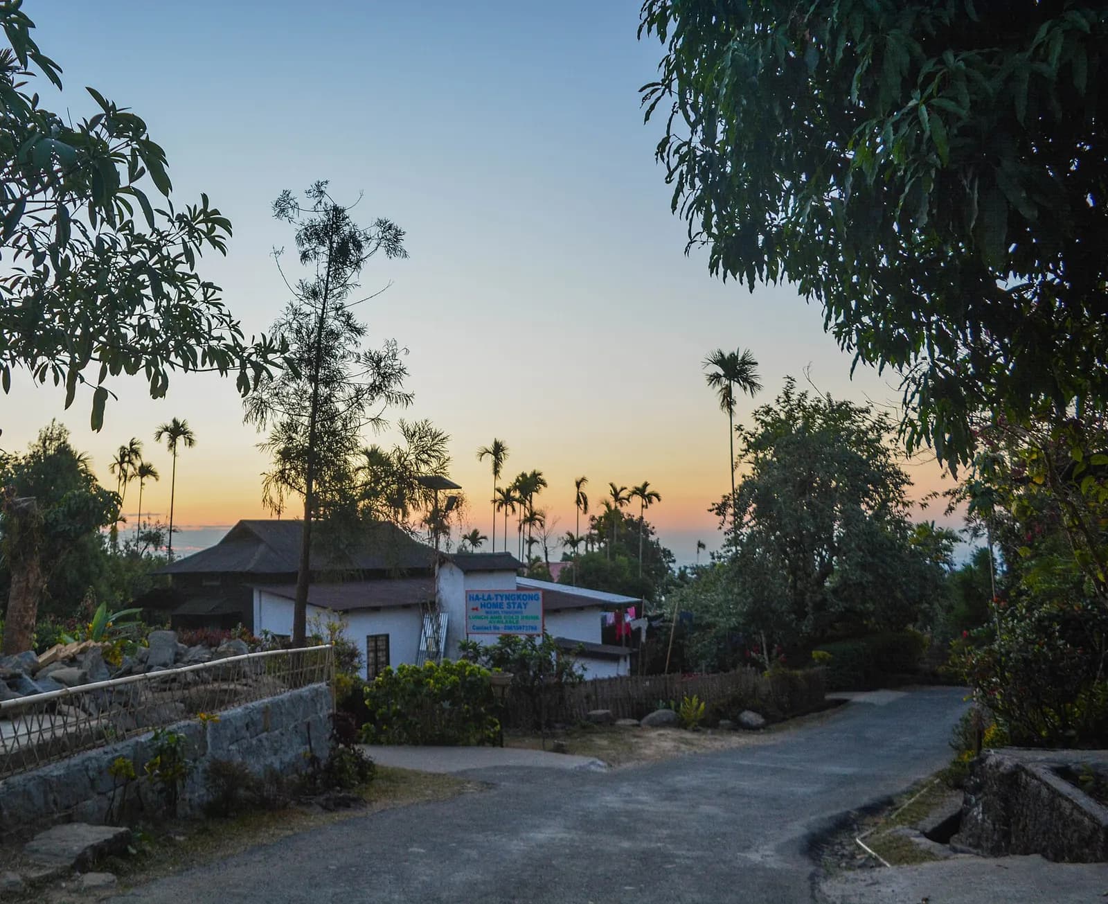
 Village
Themes:CultureOffbeatNatureFamily
Meghalaya
Mawlynnong
Asia's cleanest village, with a root bridge and a Bangladesh view
- Ideal stay
- 1 day
- Best time
- October to April; October and November for green hills after the rains
Northeast India · River
Boats that float on air above the clear Umngot river
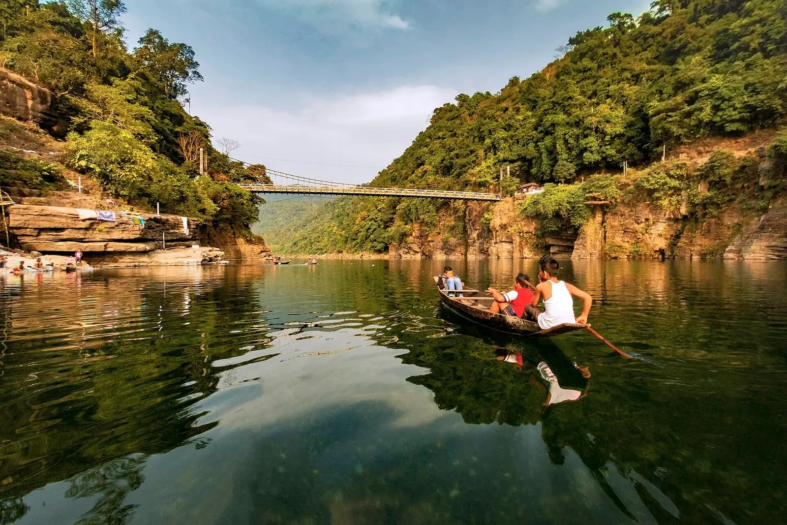
Photo: Vikramjit Kakati · CC BY-SA 4.0
Best: Nov–Mar
Dawki is where Meghalaya ends and Bangladesh begins, a small West Jaintia Hills town on the Umngot river at the very foot of the hills, with a British suspension bridge of 1932 and a border gate facing Tamabil in Bangladesh, where trucks queue for Sylhet. The river is the reason to come. Fed by clean springs and filtered through limestone, the Umngot runs so clear from November to March that from the bridge the wooden boats below appear to hover above their own shadows on the stony bed; photographs of it have become the emblem of the whole Northeast.
Eight kilometres upstream, Shnongpdeng village has turned its riverbank into a low-key adventure camp: tents on the sand, kayaks, a zip line, snorkelling in emerald pools, cliff jumps and grilled river fish at dusk while fishermen work by lamplight. The Jaintia Hills above hold Krang Suri Falls, a sheet of white water into a blue pool near Amlarem some 40 kilometres away, and the monoliths at Nartiang raised by the Jaintia kings whose summer capital it was. A day here begins early, on the water before the tour buses arrive at nine, moves upriver to swim and idle, and ends watching the sun drop over Bangladesh from a riverside camp.
In the monsoon the river turns brown and swollen and the boats stop; in winter it is the clearest water in India. Pair it with Mawlynnong, 30 kilometres up the hill, and one night covers both.
Best Nov–Mar
November to March, when the water is clearest; avoid June to September.
Give Dawki & Umngot River 1 day and it repays the time; with fewer you are choosing between A wooden boat ride under the 1932 Dawki suspension bridge and Shnongpdeng, the riverside village of camps, kayaks and zip lines. We build the hours around the weather — early starts when it is hot, long afternoons when it is not.
On the ground
The days we would actually plan for you, in the order that suits the light.
At the table
Getting there
Shillong is 82 km (about 2.5 to 3 hours) via Pynursla; Guwahati airport is about 190 km; Guwahati is the nearest railhead, and Shnongpdeng is 8 km upstream of Dawki.
Airport pickups, station transfers and the driver for the days here are all part of what we arrange — including the hour you should leave, which is usually earlier than you think.
Next door
Places that join Dawki & Umngot River without a long drive — the way a real week is built.
VillageMeghalaya
Asia's cleanest village, with a root bridge and a Bangladesh view
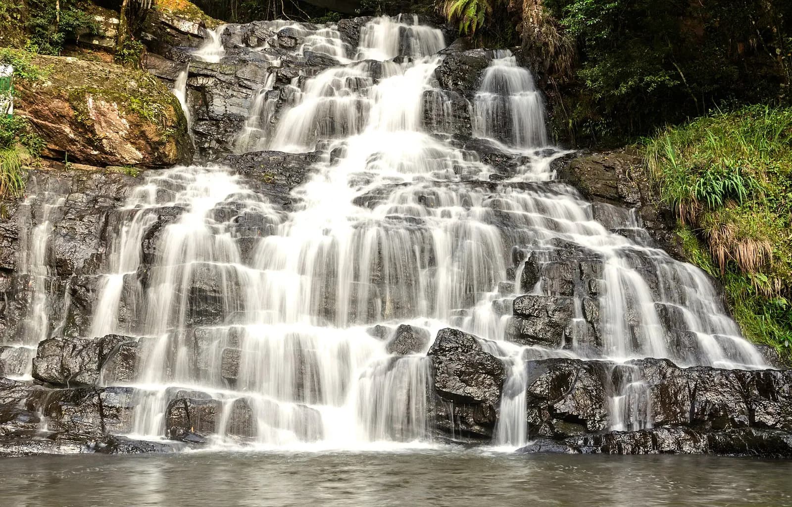 Hill station
Meghalaya
Pine-scented Khasi capital of cafes, choirs and colonial bungalows
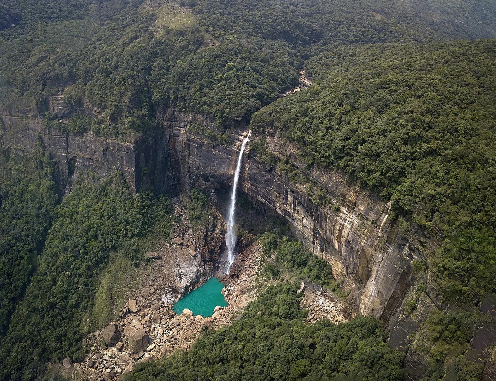 Waterfall
Meghalaya
Waterfalls off a rain-carved plateau and living root bridges below
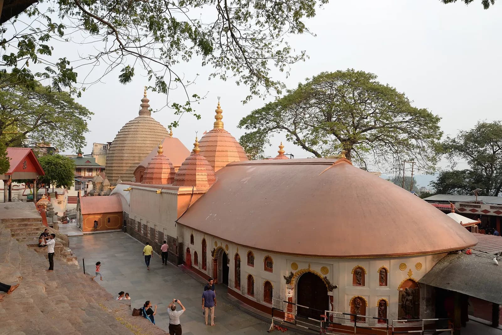 Temple
Assam
The Brahmaputra's gateway city, crowned by the Kamakhya Shakti Peetha
1 journey
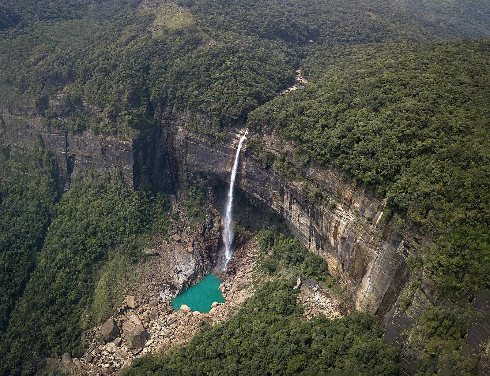 8 days · 7 nights
Moderate · Best Nov–Apr
From the Brahmaputra and Kaziranga's grasslands to the wettest hills on earth
Route: Guwahati & Kamakhya → Kaziranga → Shillong → Cherrapunji (Sohra) +2 more
From the journal
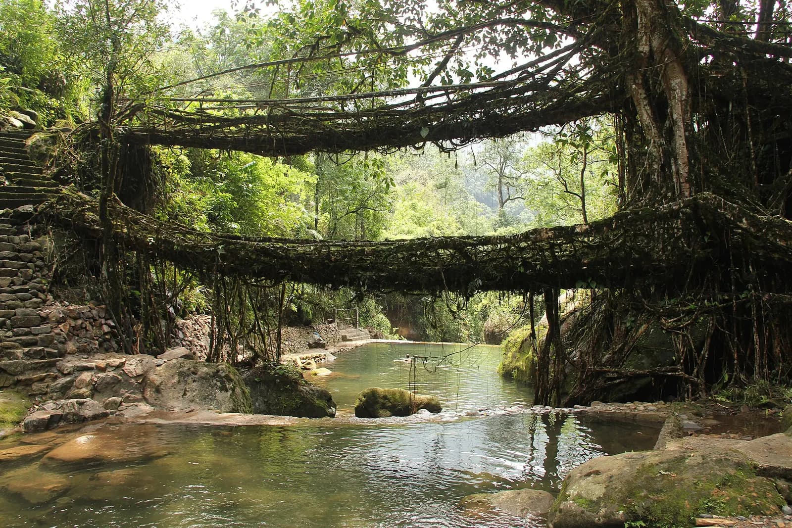
· Itinerary · 6 min
A tested ten-day route from Guwahati through Kaziranga's rhino grasslands to the satras of Majuli, then across the Khasi hills to root bridges, Nohkalikai Falls and the glass water of the Umngot, with costs, permits and honest driving times.
Before you ask
Photograph of Dawki & Umngot River: Vikramjit Kakati · CC BY-SA 4.0
All destinations