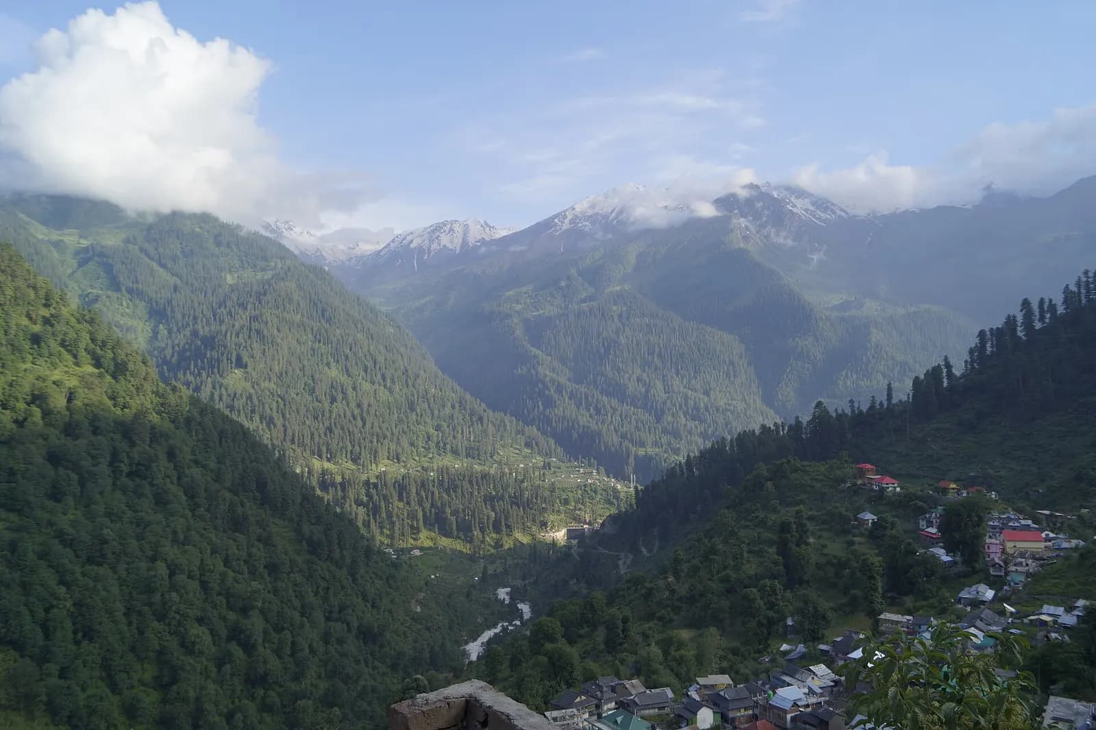
Kinnaur begins where the Sutlej cuts a canyon so sheer that the road at Taranda hangs off the rock like a shelf. It was a trade corridor to Tibet, a princely tract of Bushahr, and a restricted zone until 1989; it still feels like the far edge of something. Reckong Peo is the administrative town, but Kalpa above it at 2,960 m is where you stay, in a village of slate roofs and apple orchards facing the Kinner Kailash range across the gorge.
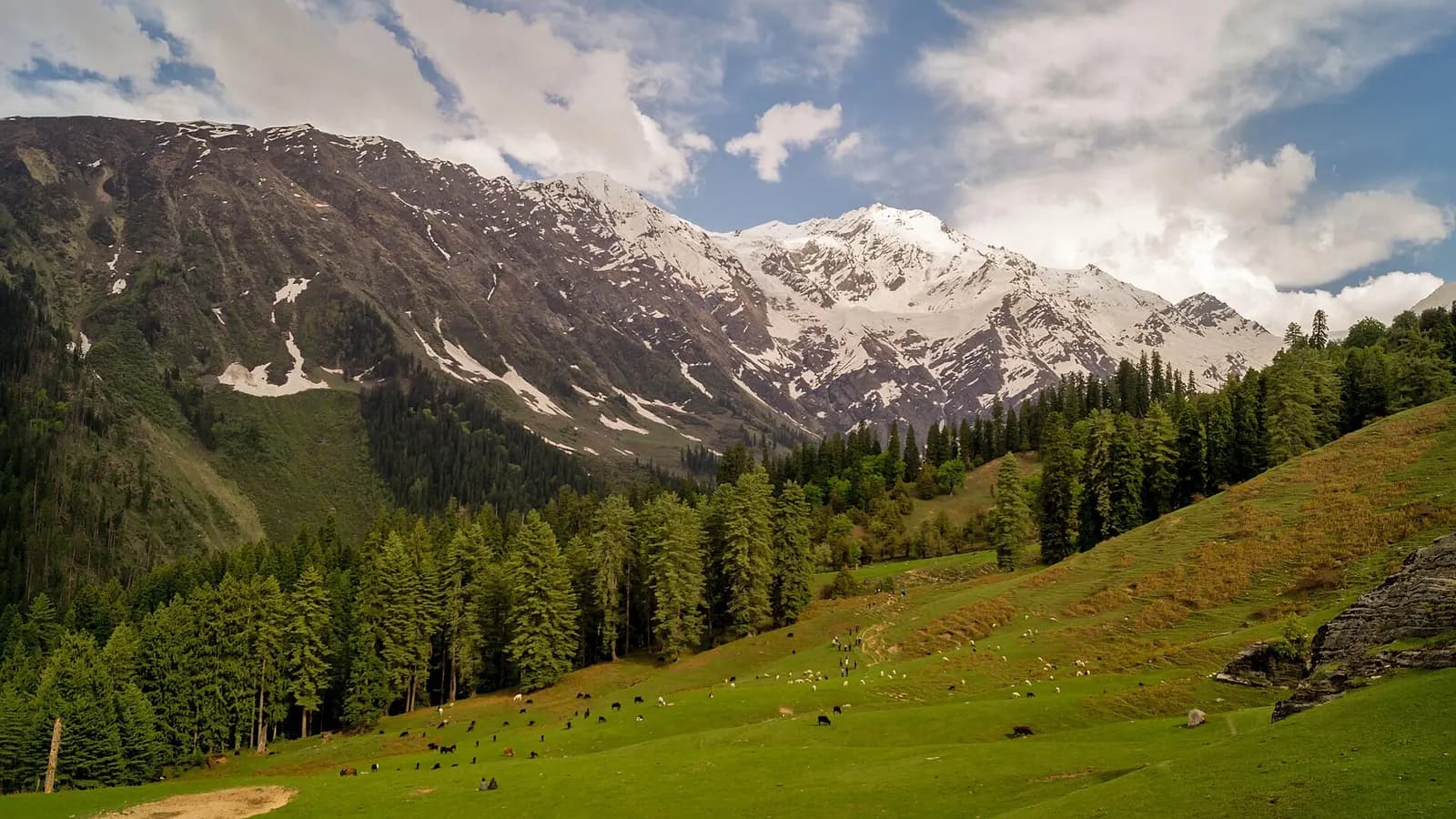
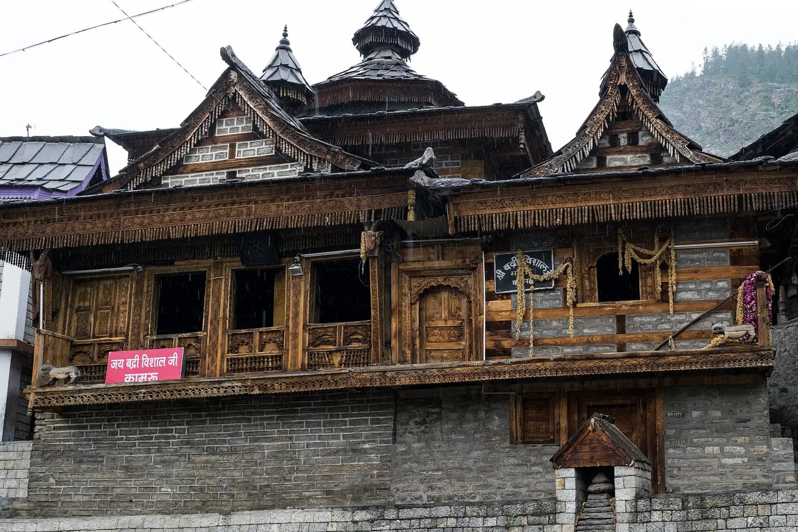
At dawn the 79-ft Shivling rock on the ridge catches the first light while villagers in green-banded Kinnauri caps walk to the Narayan-Nagini temple, a shrine whose wooden carvings sit beside a Buddhist gompa. Roghi, seven kilometres on, is a hamlet at the end of a cliff road. South at Karcham the Baspa river joins the Sutlej and the Sangla valley opens: Sangla town under Kamru Fort, the Bering Nag temple, Batseri's Badri Narayan temple, Rakcham's boulder fields, and Chitkul, a village of wood-and-stone houses at 3,450 m with the last dhaba in India.
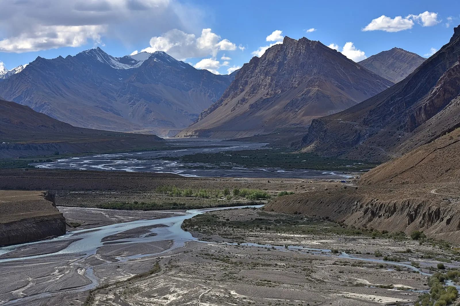
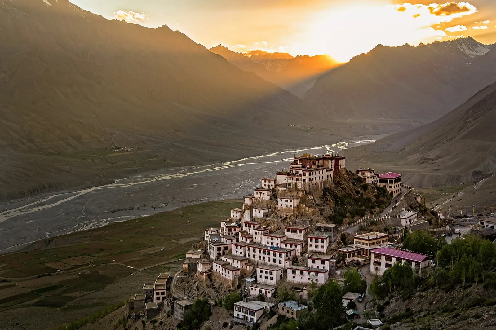
North toward Spiti, Nako sits by a small lake at 3,660 m with an eleventh-century monastery and a landscape gone lunar. Kinnaur's calendar turns on apples (harvest in September–October), chilgoza pine nuts, and Phulaich, the flower festival in September when villagers bring alpine blooms down from the meadows for the deities. It is India's most beautiful road and a culture that is half Hindu, half Buddhist and entirely its own.
 Hill station