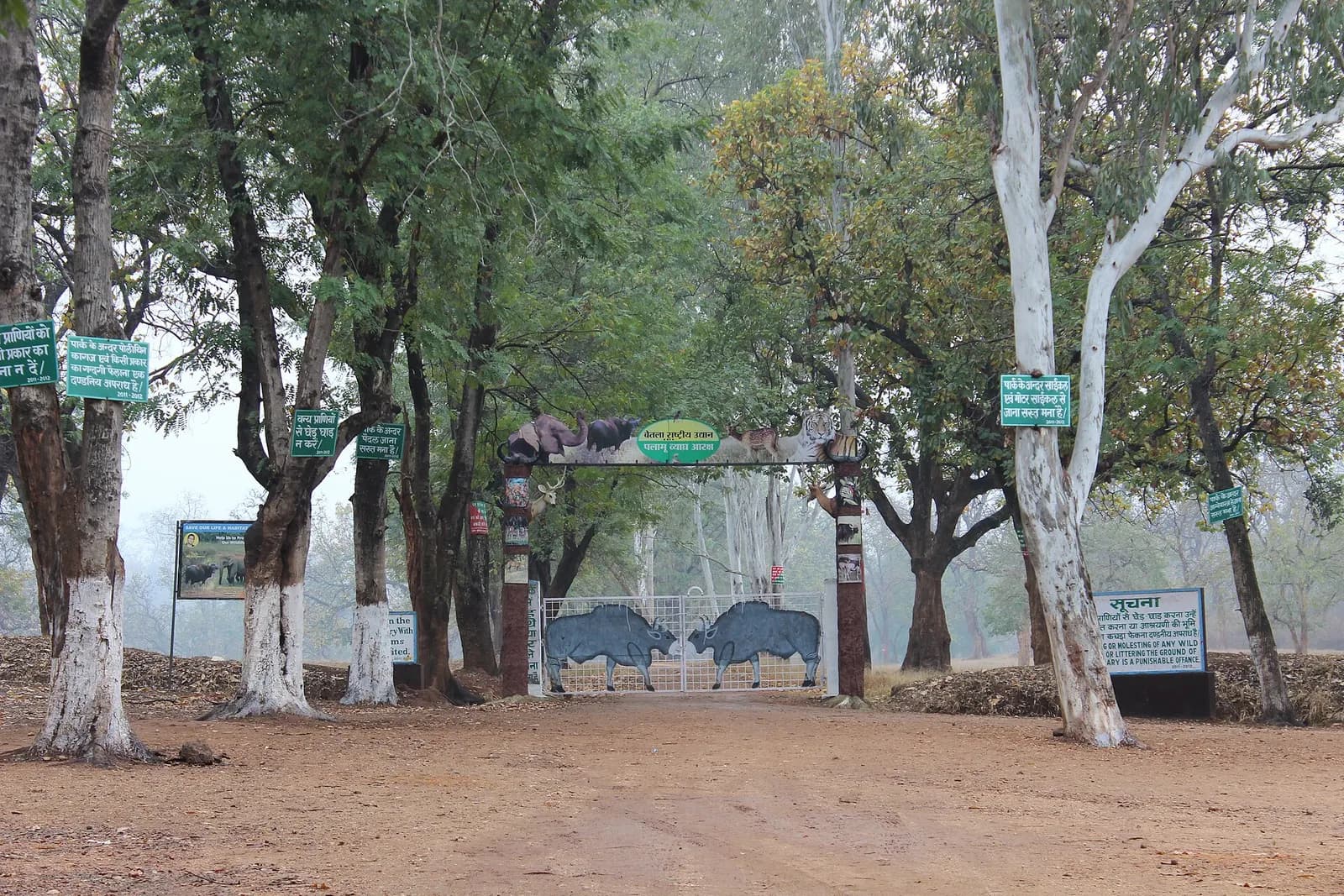
 Wildlife
Themes:WildlifeNatureOffbeatAdventure
Jharkhand
Betla National Park
Sal forest, wild elephants and two forts in Palamau's tiger country
- Ideal stay
- 2 days
- Best time
- November to March; the park usually closes during the monsoon
East India · Hill station
Sal forest, mist-filled valleys and Jharkhand's finest sunrise and sunset
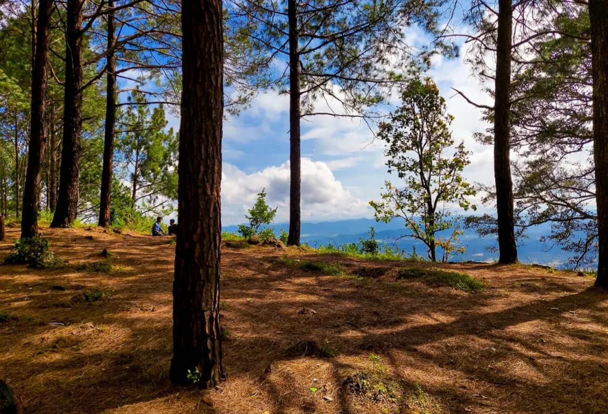
Photo: Flashthomsom · CC0
Best: Sep–Mar
Netarhat sits on a broad plateau in Latehar district, high enough for pine and eucalyptus plantations to grow beside native sal, and cool enough that the British used it as a retreat and later located a residential school here, the Netarhat Vidyalaya, founded in 1954 and modelled on the Doon School. The town is small and the routine is fixed by the light. Sunset belongs to Magnolia Point, four kilometres out, where a small memorial recalls the local story of an English girl who rode her horse off the escarpment for love of a Gwala boy; from the edge the ground falls away into layered ridges that go blue and then purple as the sun drops behind them.
Sunrise is at Koel View Point, where the valley of the North Koel river fills with mist that burns off in slow sheets. Between the two, walk to Upper Ghaghri Falls, a short forest path to a stream dropping into a rock bowl, and drive down to Lower Ghaghri, twelve kilometres away and quieter. Sixty kilometres on, past Mahuadanr, Lodh Falls sends the Burha river 143 metres down in the highest fall in Jharkhand, thundering after the monsoon.
The plateau is Oraon and Kharia country; village houses are painted with white and ochre geometry and the weekly haat is worth timing your visit for.
Best Sep–Mar
October to March; September and October for the fullest waterfalls.
Give Netarhat 2 days and it repays the time; with fewer you are choosing between Sunset from Magnolia Point over the escarpment and Sunrise and valley mist at Koel View Point. We build the hours around the weather — early starts when it is hot, long afternoons when it is not.
On the ground
The days we would actually plan for you, in the order that suits the light.
At the table
Getting there
Birsa Munda Airport at Ranchi (IXR) is 155 km, about four and a half hours by road via Latehar; Daltonganj and Latehar are the nearest railheads, 90 km and 60 km away.
Airport pickups, station transfers and the driver for the days here are all part of what we arrange — including the hour you should leave, which is usually earlier than you think.
Next door
Places that join Netarhat without a long drive — the way a real week is built.
WildlifeJharkhand
Sal forest, wild elephants and two forts in Palamau's tiger country
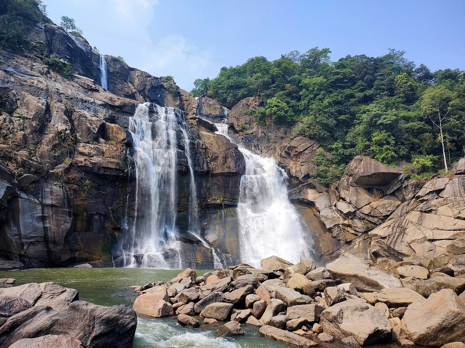 Waterfall
Jharkhand
Plateau city where rivers fall off the edge in white sheets
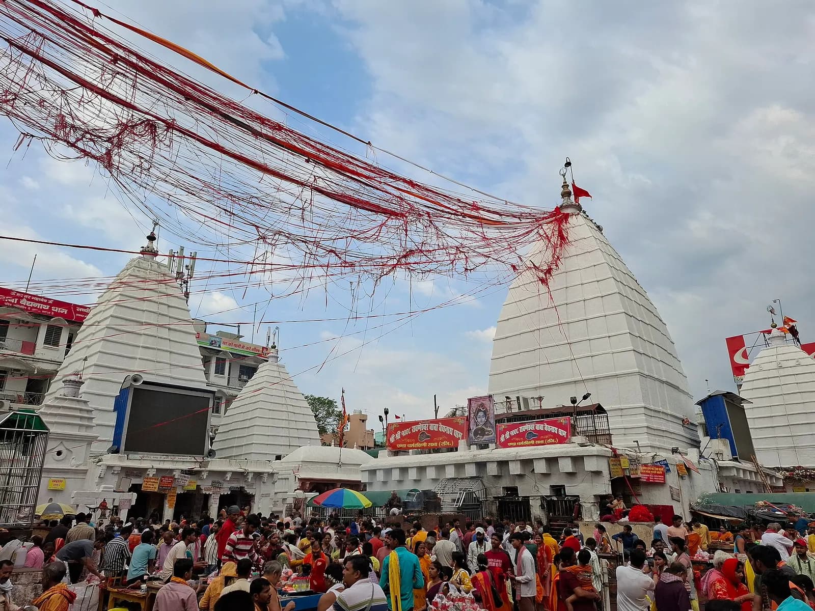 Temple
Jharkhand
Baidyanath jyotirlinga and the longest pilgrim walk in India
Before you ask
Photograph of Netarhat: Flashthomsom · CC0
All destinations